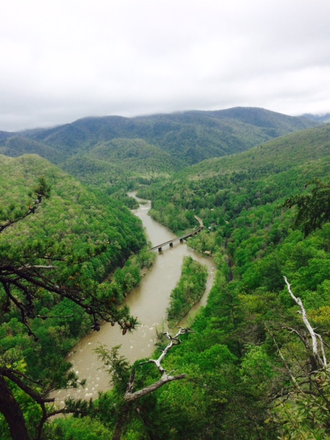
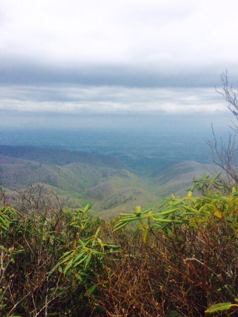
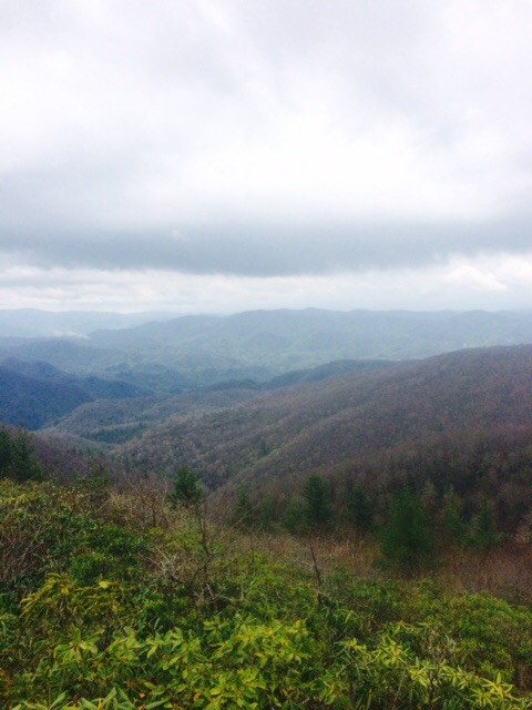
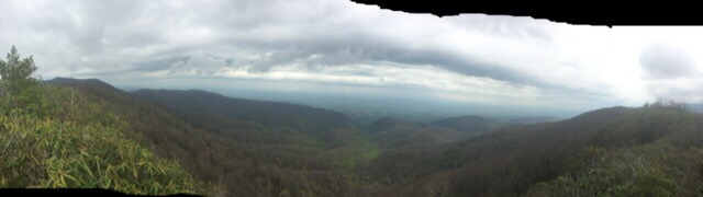
Day 28 Apple Orchard to Stan Murray Campsite (17.7 miles) 381.9 total miles
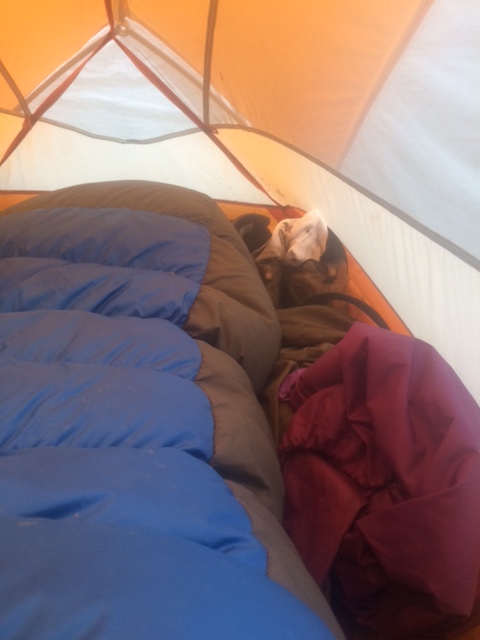
Didn’t quite make it as far as hoped today. Got soaked by heavy rains last 2-3 hours of hike. Rain quit about 5PM and I found a place to pitch tent shortly after. Walking in rain is no fun but setting up camp in rain really stinks!
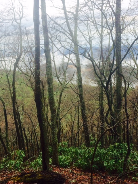
Saw my first bear of hike today! See if you can find him in this photo. Hint: I am not Ansel Adams and this happened fairly quickly.
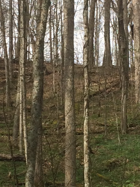
Upper right corner of photo. He is up in tree. First heard noise when he was climbing tree. Fast climbing up…really fast coming down! We eyeballed each other for a couple minutes and then he was off. Pretty impressive to watch run/saunter through this terrain. Him again top-center below.

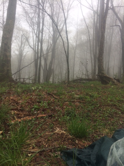
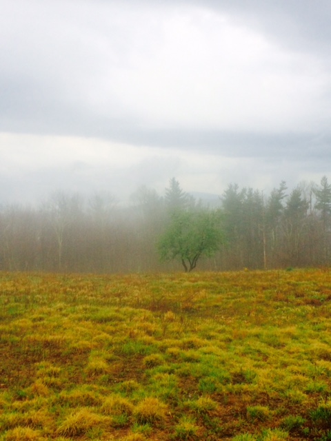
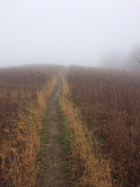
Very foggy and windy almost all day until it finally rained.
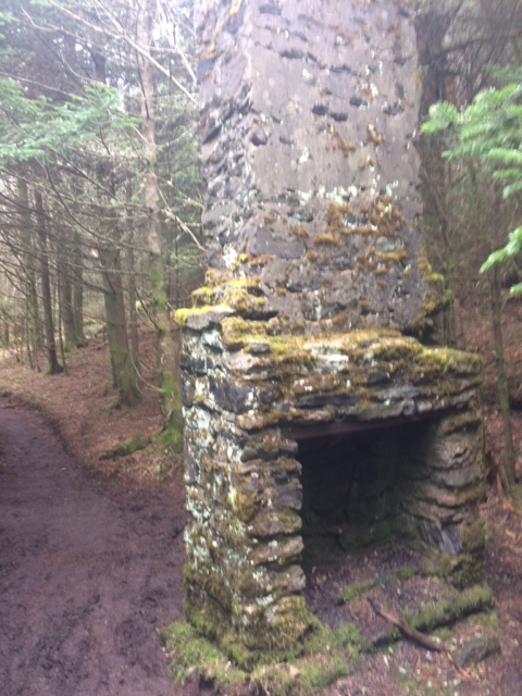
This abandoned chimney is still standing by itself in middle of nowhere. Makes you wonder it’s story. Obviously well constructed.
Today I’m hiking about 13 miles to Roan Mtn, TN. Dry place to sleep awaits!
Happy trails!