Day 132 Dead Tired Tentsite to Mt Cube Tentsite (13.5 miles) 1776.7 miles total
I think Earth is giving me a preview of the Whites. There was no more hiking on top of ridge lines. You go up the mountain, down the mountain, and up the next.
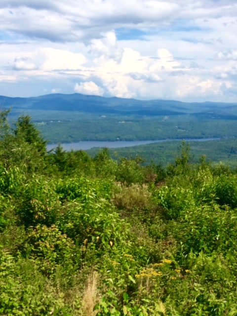
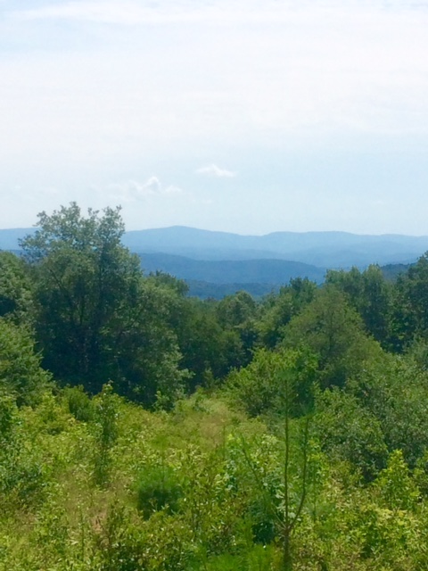
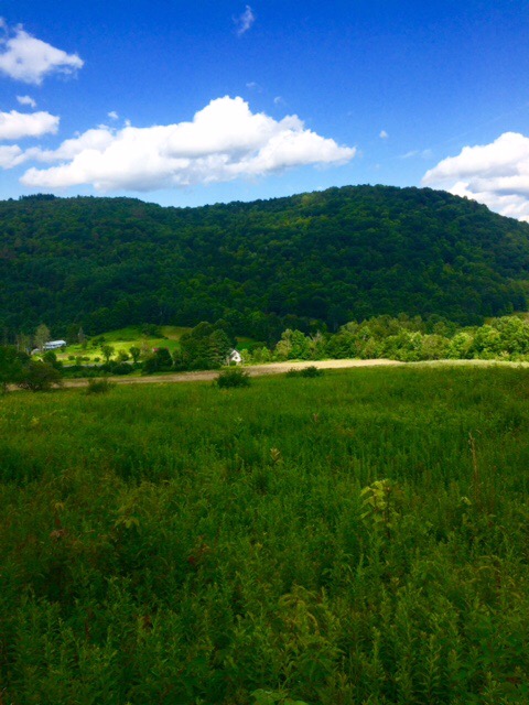
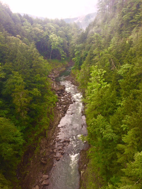
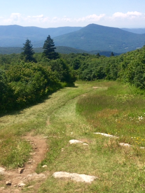
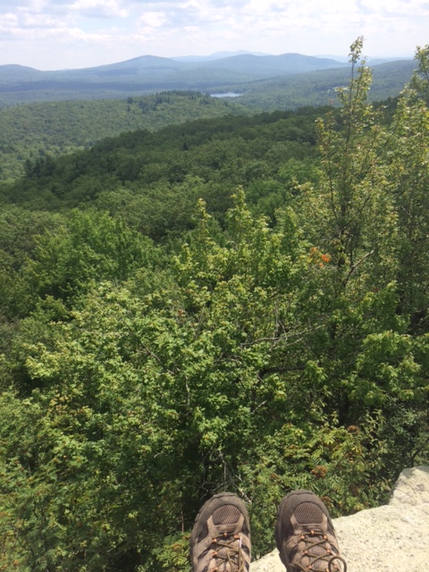
Physically tough but the views are very rewarding. This is the “precipitous drop-off” I stopped short of yesterday.

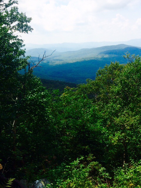
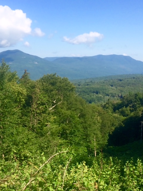
Peak behind me is Smarts Mountain. Heading there next.
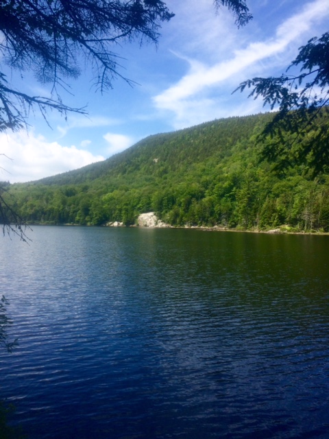
I had lunch on a ledge with incredible views. Spent an hour there. Buena vista!
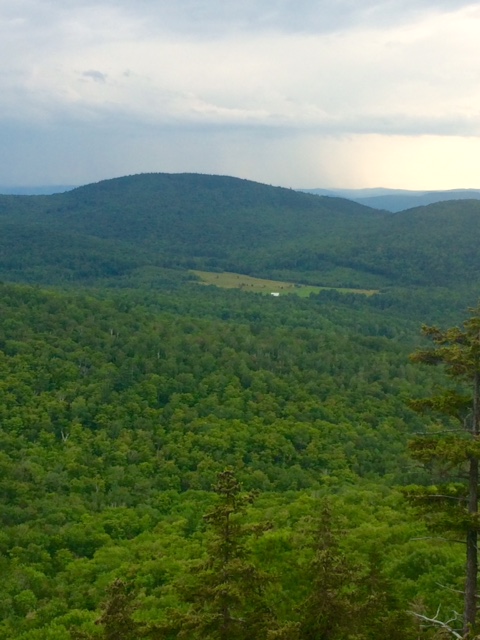
Possibility of rain this afternoon. Hope it blows over.

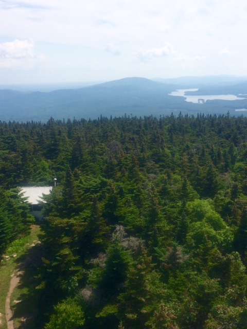
Got to the top of Smarts Mtn about 2:40. There is a Fire Wardens cabin that hikes can stay in. Also supposed to be a spring 0.2 miles in front.
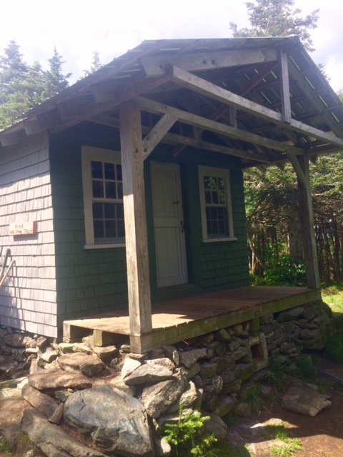
I say supposed to be a spring. When I got to cabin a young couple who had passed by while I was on lunch break were there. They had walked down to spring and not flowing. Just a muddy puddle.
Not good. Couple had just drank last of their water and I had about 10 oz left. An expected and needed water source is dry. Hasn’t happened to me since early GA.
Guidebook says a brook 4 miles down. Will take a bit more than an hour and half. Made it there with no water left. Couple arrived shortly after. Very happy to see clean, flowing water. Only second time I’ve filled from non-spring source. Fingers crossed.
Few sprinkles late in day but anything heavy missed here.
Got an initial plan together to tackle Whites. Will take 6 or 7 days if weather good.
Have about 25 miles to North Woodstock, NH. That is start of Whites. Should get there early Friday. Rest, resupply, laundry. Start Whites on Saturday.
Happy trails!