Day 131 Hanover, NH to Dead Tired Tentsite (15.5 miles) 1763.2 miles total
Carol, thanks for the use of your sherpa, I mean husband, for the past several days. Good to catch up, drink some beers, have a few laughs, and knock out some miles with a friend of more than 50 years. Thanks, Skaare! Now about that splitting out wide thing…
Sherpa and I parted ways shortly after 10AM. Had to wait for a sporting goods store to open in Hanover (cool town). Needed new sock liners (thin sock under wool sock). Original 2 pairs had holes in toes. Only lasted 1750 miles!
Dartmouth may be smarter than Northern State University but I’m pretty sure we draw a bigger crowd for football games.

Hitched a ride into Etna, NH for lunch. Small town 0.8 miles from trail. General Store with a deli. Great sandwiches, etc.
Had lunch with Subway. He is Irish and a retired police officer from Stoney Brook, NY. I’ve seen him on and off for a couple weeks. Spent more than an hour chatting. Nice guy. We both have noticed significantly fewer “old guys” since New England.
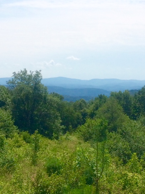
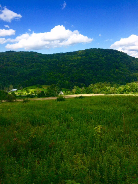
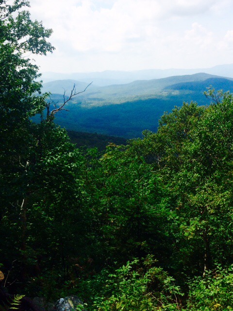
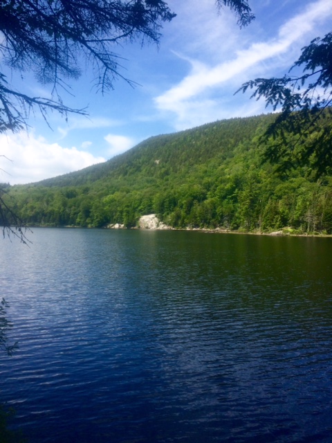
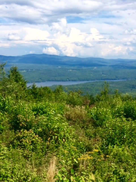
Out of Etna is a climb up to Moose Mtn.
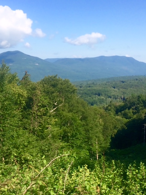
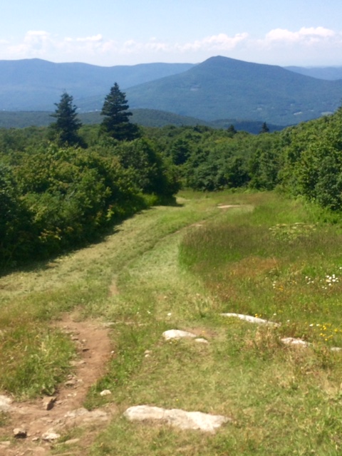
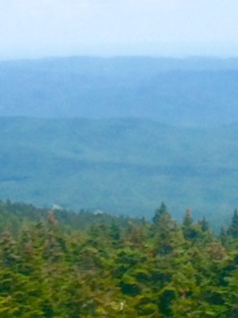
After Moose Mtn was a steep climb to Holts Ledge. I stopped to tent shortly before top. I was beat and guide book mentioned “precipitous drop-off” at peak. Thought it prudent to not be dead tired while going over!
Finding a flat spot to tent on a steep part of a mountain is nearly impossible. This is my most uneven spot yet!
Hoping to get started into Whites on Friday. Right now, weather to then sounds good.
Happy trails!